SURVEY
SURVEY
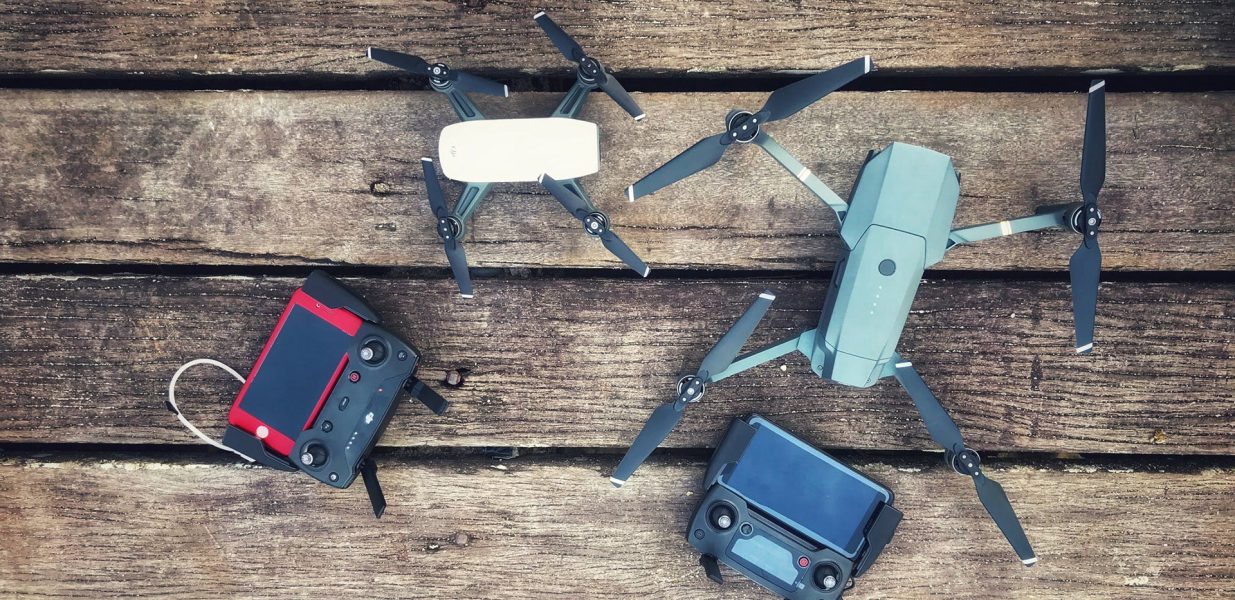
Hardik Mining And Environmental Consultancy provide surveying services likemining survey, civil survey and drone survey with provide accuracy using world class instruments. Our Drone survey staff is professionally trained and provide survey on time with fast data process using latest generation and computers.
MINING SURVEY
You’ll find all the services that our mining surveyteam can carry out. As established mining survey specialists, there are no of teams more placed to help booby-trapping companies and contractors deliver upon their operations and wider design objects. The HMEC provides the following surveying services, to insure mining systems across the world are safe and productive.
HMEC’s Capabilities and Experience Covers a variety of areas in the mining assiduity, including disquisition with upstanding leadersurvey of prospect areas, collaboration of diamond drilling boreholes, incorporating of underground data with face DTM for 3D view. Planning or structure includes ground and upstanding check of proposed mine point, access roads and power inventories. Planning proposed routes or revision of being. We provide regular update survey, overload and in- situ ore and cache volume calculations. Conducted by our educated mining surveyors, using mobile ray scanning, DPS, DGPS or Drone. Also provide Environmental monitoring of chase heads and waste mound pitch stability using ray scanning and upstanding drone styles. Our services right throughout the India. In addition to the public content, our mine Survey team has expansive transnational experience, having handed survey and mine mapping services for nearly 100+ times.

CIVIL SURVEY
Hardik Mining and Environmental drone services save civil engineering strategies substantial time and money. With an accurate upstanding data showing the as it is conditions, we help you cut overall design and construction time, avoid expensive RFI’s and construction waits and deliver precise volumetric and topographic information. Drone surveying are fast and safe ways to capture as- set up information demanded for road and ground design, examination, and monitoring. Darling can fully validate congested roads without intruding business inflow. We make assiduity standard maps from the point shadows. The position of detail and delicacy far exceeds the capabilities of traditional check styles, and the plutocrat saved from employing this information exceeds the cost of our services. We specialize inpre-construction and construction as erected attestation in 3D, including 3D scanning, drone surveying, post processing and erecting information modeling( BIM) for construction. This is the fastest, easiest and least precious way to get an accurate” as- erected” model. Performing 3D scanning and drone surveying and mapping of a thruway provides masterminds with further information about the being conditions. Our data mining capabilities allow us to prize the data from the point pall. This reduces point visits and total design cost.

DRONE SURVEY
Hardik Mining and Environmental drone services save civil engineering strategies substantial time and money. With an accurate upstanding data showing the as it is conditions, we help you cut overall design and construction time, avoid expensive RFI’s and construction waits and deliver precise volumetric and topographic information. Drone surveying are fast and safe ways to capture as- set up information demanded for road and ground design, examination, and monitoring. Darling can fully validate congested roads without intruding business inflow. We make assiduity standard maps from the point shadows. The position of detail and delicacy far exceeds the capabilities of traditional check styles, and the plutocrat saved from employing this information exceeds the cost of our services. We specialize inpre-construction and construction as erected attestation in 3D, including 3D scanning, drone surveying, post processing and erecting information modeling( BIM) for construction. This is the fastest, easiest and least precious way to get an accurate” as- erected” model. Performing 3D scanning and drone surveying and mapping of a thruway provides masterminds with further information about the being conditions. Our data mining capabilities allow us to prize the data from the point pall. This reduces point visits and total design cost.

HMEC’s survey services
- Drone survey.
- DGPS Survey.
- GPS Survey.
- Data Processing.
